How to Navigate Without GPS: Paper Maps, Compass Basics and Landmarks
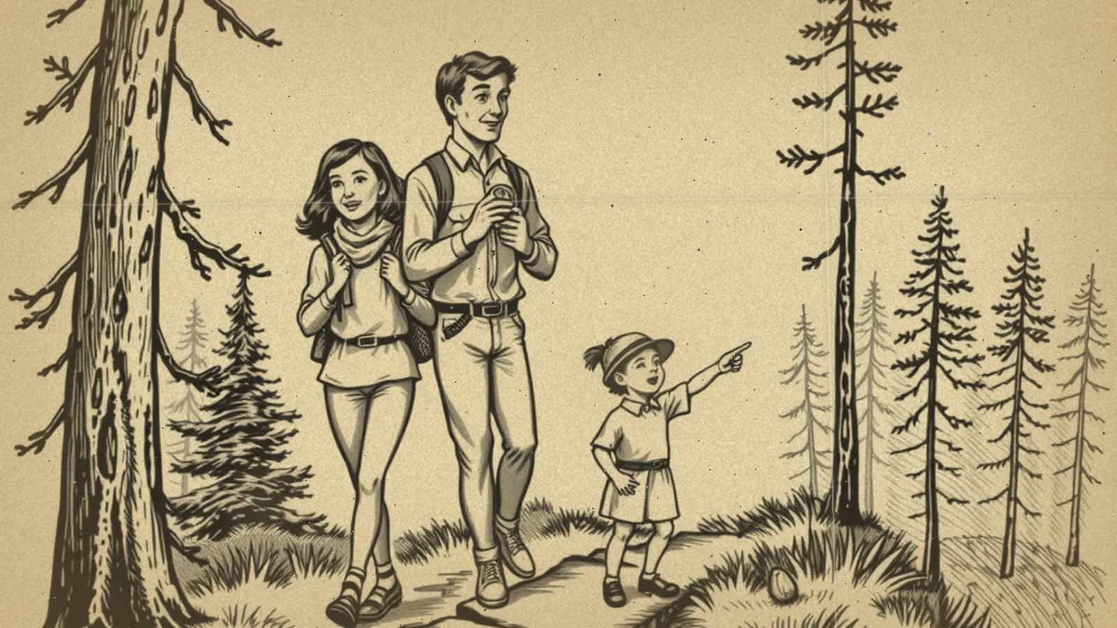
To navigate without GPS, use a paper map to plan your route, a basic compass to keep your direction, and landmarks to confirm where you are along the way. Just as important: plan your routes before you need them, so you're never figuring them out for the first time during an evacuation or an outage.
Map reading is a quiet but valuable skill in our Self-Reliance section. Phones are wonderful, but they can lose signal, run out of battery or send you down a road that's closed. A paper backup takes up almost no space and never needs charging.
When you might need it
- Evacuations, when traffic is heavy, roads are closed and cell networks are overloaded.
- Power outages, when you can't charge your phone and need to reach a shelter or cooling center.
- Rural drives and hikes, where coverage is spotty.
- Detours after storms, floods or wildfires, when the usual route isn't safe.
Always follow evacuation orders and the routes given by local emergency officials. Your own map knowledge is a backup, not a replacement for their instructions.
What to keep on hand
| Item | Why | Where to keep it |
|---|---|---|
| State or regional road map | Shows highways and alternate routes | Car glove box |
| Local street map | Shows side streets near home, work and school | Car and emergency kit |
| Basic baseplate compass | Keeps your direction when signs are missing | Emergency kit, hiking pack |
| Highlighter and pencil | Mark routes and notes | With the maps |
| Zip-top bag | Keeps maps dry | Around the maps |
Ready.gov includes local maps in its basic emergency kit list, which is one more reason to keep a few.
Reading a paper map
Start with the basics and the rest gets easier:
- Find the legend. It explains what lines, colors and symbols mean, like highways, county roads, rivers and parks.
- Check the scale. It tells you how far a given distance on the map is in real life, so you can estimate travel time.
- Orient the map. Turn it so the features on the map line up with what you see around you. North on most maps is at the top.
- Find yourself. Look for two or three landmarks you can see, like a river crossing, a highway interchange or a large park, and locate them on the map.
- Trace your route with your finger before you go, noting turns and landmarks along the way.
Compass basics
A simple baseplate compass is enough for most people. Here's how to use one to hold a direction.
- Hold the compass flat in front of you, with the direction-of-travel arrow pointing away from you.
- Turn the rotating dial (the bezel) until the direction you want, like east, lines up with the index line.
- Turn your whole body until the red end of the magnetic needle sits inside the outlined arrow on the dial ("red in the shed").
- Look up along the direction-of-travel arrow and pick a landmark in that direction, like a tree or a building.
- Walk to that landmark, then repeat.
Keep the compass away from metal objects, magnets and electronics while you read it, since they can pull the needle off. Maps note that magnetic north and true north differ slightly depending on where you are; for short trips in town, this rarely matters, and an orienteering class can teach you to adjust for it on longer routes.
Using landmarks and natural clues
Even without a compass, you can keep your bearings:
- Big landmarks: highways, rivers, railroad tracks, ridgelines and tall towers can be seen from a distance and appear on maps.
- The sun: it rises roughly in the east and sets roughly in the west. Around midday in the US, it's in the southern part of the sky.
- Street patterns: many towns have numbered streets running one way and named streets the other. Learn your town's pattern.
- Handrails: follow a long feature, like a river or a highway, that leads toward where you want to go.
Natural clues are rough guides, not precise tools. Use them to confirm what your map tells you.
Planning evacuation routes ahead of time
The best time to navigate is before the emergency. Our evacuation plan guide covers zones, destinations and pets in depth. For the map side of it:
- Mark at least two routes out of your neighborhood in different directions.
- Highlight gas stations, hospitals and possible shelters along each route.
- Drive each route once in daylight so it feels familiar.
- Note low spots that flood. Never drive through flooded roads; turn around and find another way.
- Write the route directions on a card in case you're too stressed to read the map.
Worked example: a family in a hurricane zone
A family of five in a coastal town keeps a laminated county map in each car. Each June, they spend an afternoon reviewing it together. The 12-year-old traces their primary route inland in green and a backup route in blue. The grandparent, who doesn't drive, keeps a card listing the route, the destination address and the phone number of the cousin they'd stay with. When officials order an evacuation and the main highway is jammed, they switch to the blue route without stopping to search their phones.
Practice ideas
- Take a weekend drive to a nearby town using only a paper map.
- Try a local orienteering event or a park's map-and-compass program.
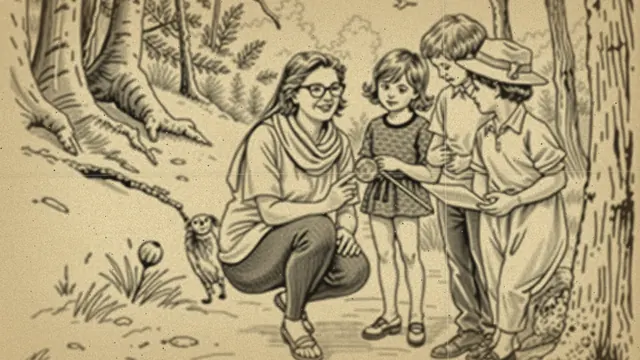
- Have kids lead a neighborhood walk with a printed map.
- Turn off your phone's directions on a familiar trip and navigate from memory.
Related outdoor skills
Navigation pairs naturally with other skills. If you walk trails, foraging safely helps you appreciate wild plants while remembering that you should never eat one unless an expert has identified it with certainty. The same patience you use in reading a map helps with planning a survival garden, where knowing your yard's sun and shade matters. And knots everyone should know helps you rig a shelter or tie down gear once you've reached your destination.
Want a guided preparedness plan?
Some people like the structure of a paid guide. This button opens a third-party survival or preparedness program from one of our advertising partners. Its claims are its own, not ours, so weigh them against our red flags checklist.
See the partner program →We may be paid when you click. The program shown can change. Read its terms before you buy anything. How this works
Frequently asked questions
How do you navigate without a phone?
Use a paper road map of your area, know your main routes ahead of time, and watch for landmarks like rivers, highways and water towers. A simple compass helps you keep your direction when signs are missing.
Should I keep paper maps in my car?
Yes. A current paper road map of your state or region, plus a local street map, is a cheap backup for times when cell service is down or your phone battery dies.
Is it hard to learn to use a compass?
The basics take an afternoon. Learning to find north, set a direction of travel and follow it gets you most of the way, and local orienteering clubs or parks programs can help you practice.